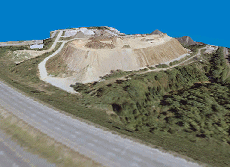
Founded in 1986, GeoData Corp. is an aerial mapping company that provides
to a broad spectrum of clients. We have completed hundreds of mapping projects
in support of highway engineering, residential and industrial development,
as well as utility and environmental projects.
Our approach to each project is the same...provide quality
mapping services in a timely manner for a reasonable cost. As with
any company, our greatest assets are our employees. GeoData's staff, which
includes four Professional Land Surveyors, is a group of well-trained and experienced
individuals dedicated to customer satisfaction.
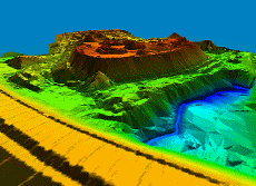
We are equipped with state-of-the-art computer hardware/ software
and stereoplotting instruments enabling us to produce accurate geospatial mapping data in customer-specified formats.
Our team of highly skilled professionals are ready to serve you with a customized geospatial solution for your project.
© 2007 GeoData Corp.
104 E Horton St.
Zebulon, NC 27597
1-800-966-4map (4627)